
























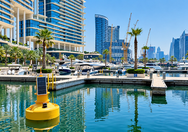
 The future of Gulf infrastructure starts underwater: Ecocoast ENV DB Ecobarrier WQM Buoy Marina-1
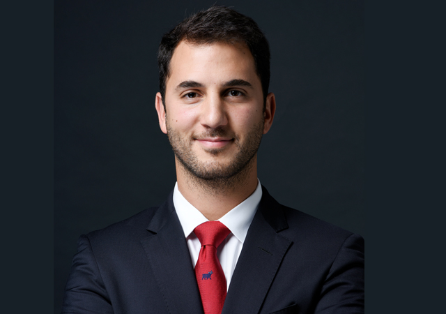
A monthly water sample captures a single moment. A continuous monitoring system can record nearly 3,000 readings over the same period. For Joachim de Jenlis, CEO of Ecocoast, that gap highlights a fundamental shift underway in how the Gulf manages its marine environment.
As coastal development accelerates across the GCC, environmental monitoring is evolving from a regulatory requirement into a strategic operational tool. From desalination plants and ports to waterfront developments and marine construction projects, operators are increasingly relying on real-time data to detect risks early, protect critical assets, and make more informed decisions.
“Monitoring will move from being compliance-driven to operations-driven,” says de Jenlis. Rather than installing monitoring systems simply to satisfy permit requirements, operators are beginning to recognise the value of data that can help them “know about a water quality issue before their guests do.”
That shift is particularly significant in a region where marine assets are essential to economic growth. For desalination and power plants, early warning of contamination can mean the difference between maintaining operations and facing costly disruptions. For ports, marinas, and developers, real-time visibility can help manage environmental risks before they escalate into operational, financial, or reputational challenges.
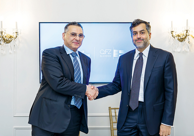
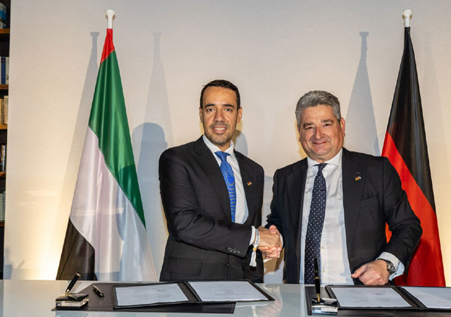
Ecocoast’s new partnership with Xylem reflects this growing convergence of environmental protection and digital intelligence. By combining containment, protection, and restoration solutions with advanced sensing and monitoring technologies, the company aims to give operators a more complete picture of what is happening beneath the surface.
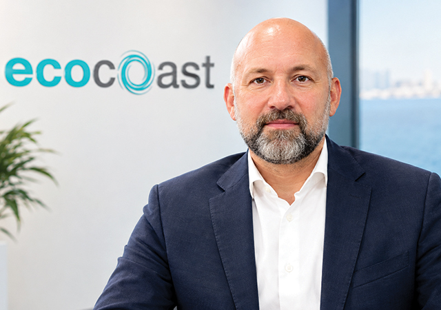
“The value of real-time environmental monitoring lies in the time it buys,”: Joachim de Jenlis
“The value of continuous, real-time environmental monitoring lies in the time it buys,” de Jenlis says. And as the industry looks ahead to AI-driven analytics and predictive capabilities, he argues that the foundation must first be built through reliable, continuous data collection. “We need that baseline to know what ‘normal’ looks like before we can predict what comes next.”
In an interview with Gulf Industry, de Jenlis discusses the environmental pressures facing Gulf waters, the business case for continuous monitoring, and why the future of coastal infrastructure may depend as much on environmental intelligence as on the assets themselves.
Excerpts from the interview:
What strategic advantages does the partnership with Xylem bring to Ecocoast and its customers across the GCC?
It means that we can now deliver end-to-end solutions to clients in the GCC. Our portfolio already protects and regenerates marine environments, such as silt curtains that contain sediment during dredging, booms that contain oil and debris, mooring systems that bring habitat back. With the addition of Xylem, we add monitoring to that, so the ability to measure what those systems are doing.
That changes the conversation with the client. A marine contractor working under a turbidity condition can now buy both containment and monitoring from us, rather than from two different suppliers. The same team can act on what the data shows and adjust the containment if needed, in just one mobilisation.
The second part is service. Sensors need regular calibration and inspection to keep producing data you can trust. Having spares, calibration facilities and trained engineers in Umm Al Quwain and Yanbu means clients don’t need to wait on a shipment from overseas.
Why is the industry moving away from periodic manual sampling towards continuous environmental monitoring?
Periodic manual sampling tells you what happened at one moment. It doesn’t tell you what’s happening in the water right now.
We did a calculation a while ago. A monthly sample captures about 1 reading out of the 2,900 a continuous system records over the same period of time. Everything in between is not visible.
Water quality problems can build up and clear within a week or two. To give you a practical example, an algal bloom can develop and disappear completely between two sampling visits without showing up in the data. The dead fish, however, do show up in the water – and for a luxury marina, that’s a serious guest experience problem.
How can real-time environmental intelligence improve safety and operational efficiency at ports, desalination plants, and power facilities?
Desalination and power plants depend on a supply of clean seawater. If contamination reaches the intake, the consequences can be serious: reduced output, damaged systems, or in the worst case, a shutdown.
The value of continuous, real-time environmental monitoring lies in the time it buys. A hydrocarbon sensor close to an intake gives an operator the chance to act before the contamination reaches the plant. Instead of being recorded after the fact, the problem can be prevented.
What are the biggest environmental challenges facing the GCC’s coastal and marine infrastructure today?
Temperature. The Gulf is one of the warmest seas in the world, and summer pushes marine life to its limits. At one site we monitored this year, every single reading was above 35°C for two weeks in a row. Warm water holds less oxygen, which makes every other problem on the site worse.
Development. The pace of coastal construction means dredging, reclamation and new infrastructure are more or less constant. The environmental conditions attached to those projects are getting stricter, and rightly so.
How does the integration of Xylem’s sensing technologies with Ecocoast’s buoy platforms enhance monitoring capabilities?
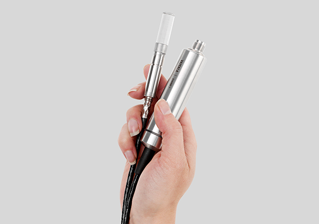
Clients have multiple options. Xylem’s YSI EXO multi-parameter sondes can be integrated into our own buoy platforms, or supplied on Xylem’s YSI data buoys in 600, 1300 and 1750mm diameter configurations.
The platform choice comes down to site conditions, such as water depth and currents, rather than what it can measure, as the same sensing goes into both of them.
Beyond water quality, the same platforms carry oceanographic and meteorological instruments, so a single deployment can cover currents, waves, tides, wind and barometric pressure alongside the water quality parameters.
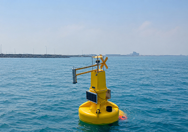
Ecocoast hydrocarbon monitoring buoy
Which environmental parameters are becoming most critical for operators to track in real time, and why?
It depends on the site, but three parameters come up in many conversations we’re having with clients at the moment: total algae, turbidity and hydrocarbons.
Total algae tracks the pigments in algae, so a bloom shows up in the data while it’s building rather than once it’s visible on the surface. In seawater we use the phycoerythrin (PE) sensor, which picks up the algae types common in marine environments. A bloom matters to a plant because it fouls the intake, and to a marina because of what happens to the oxygen overnight.
Turbidity measures how much sediment is suspended in the water. It’s the key parameter for dredging and marine construction. It’s usually the one written into the permit, so it’s the one work can stop over.
Hydrocarbons. This one has moved up the list fastest this year. It picks up oil in the water, and at an intake or in a port it’s the difference between a containment exercise and a shutdown.
What makes them valuable is reading them alongside the other parameters we log, like dissolved oxygen and pH. During a bloom, algae rises first, then oxygen and pH swing up during the day and drop at night. One parameter on its own can be noise, but when three move together, something is happening. Hydrocarbons is the exception. There, you’re watching for a single event rather than a pattern.
How can early detection technologies help mitigate risks such as oil spills and water-quality incidents?
Early detection works by shortening the gap between something happening and somebody knowing about it.
Our systems record 24/7 and stream live to Xylem’s YSI HydroSphere platform, so the data can be viewed anytime, from anywhere. Alarms are set per parameter, and when a reading crosses a threshold, an alert goes out by email or text. If the first person doesn’t respond, it escalates to the next.
We set those thresholds in tiers, because the alternative is alarm fatigue. Some conditions only need logging and watching. Some need the responsible team notified. A small number need immediate escalation. Getting that right is what keeps a system useful after the first month. If everything triggers an alarm, people stop reading them.
To what extent are sustainability goals, ESG commitments, and regulatory requirements driving demand for environmental monitoring solutions in the region?
Regulation is the key driver. In both the UAE and KSA, dredging and marine construction need an environmental permit. Those permits come with conditions on water quality, turbidity especially, that has to be monitored throughout the works. In KSA, penalties for polluting marine waters can reach SAR20 million.
ESG is another driver. It’s growing especially among developers and contractors who report publicly.
What role do AI, predictive analytics, and digital technologies play in the future of marine environmental monitoring?
It’s becoming increasingly important, especially predictive analysis is something we hear clients talk about more often. But it’s still too early for this region, as we don’t have a baseline yet. That takes continuous monitoring across different sites over time, and we’re not there yet. We need that baseline to know what “normal” looks like before we can predict what comes next.
Where AI adds value today is in the data itself: automated quality control, automated reporting and flagging readings that look like sensor drift rather than a real event.
Looking ahead, how do you see environmental monitoring evolving across the GCC, and what role will Ecocoast play in shaping that future?
Monitoring will move from being compliance-driven to operations-driven. Today, very often systems go in as a permit requires them. Moving forward, operators will want them as the data helps them run their sites better: planning dredging around turbidity conditions, protecting an intake or knowing about a water quality issue before their guests do.
The baselines that are being built now will become valuable in order to enable predictive analysis. Every site that’s monitored continuously adds to the picture of what “normal” looks like. Once that picture exists, predictive analysis becomes possible, and the conversation moves from reacting to an event to seeing it coming.